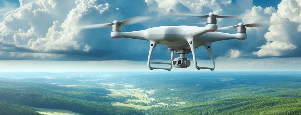
Overview
Drones are revolutionizing mineral exploration by providing efficient, cost-effective, and precise methods to survey and analyze potential mining sites. This category explores the innovative ways drones are being used in the mineral exploration industry, highlighting their benefits, applications, and future prospects.
Applications in Mineral Exploration
1. Aerial Surveys and Mapping
- Geological Mapping: Drones equipped with high-resolution cameras and sensors can capture detailed images of geological formations, helping geologists identify mineral-rich areas.
- Topographic Mapping: Drones generate accurate topographic maps, providing valuable data on terrain features, elevation changes, and surface conditions, essential for planning exploration activities.
2. Remote Sensing
- Multispectral and Hyperspectral Imaging: Drones equipped with multispectral and hyperspectral cameras can detect mineral compositions and identify anomalies, aiding in the discovery of mineral deposits.
- Thermal Imaging: Thermal cameras on drones can detect temperature variations on the earth’s surface, revealing hidden mineral deposits and geothermal activities.
3. Sampling and Analysis
- Soil and Rock Sampling: Drones can collect soil and rock samples from remote and inaccessible areas, providing valuable data for geochemical analysis and mineral identification.
- Geophysical Surveys: Drones equipped with magnetometers and other geophysical instruments can conduct surveys to measure magnetic, gravitational, and electromagnetic properties, helping in the detection of mineral deposits.
Advantages of Using Drones in Mineral Exploration
- Cost-Effective: Drones reduce the need for expensive manned aircraft and ground surveys, lowering the overall cost of exploration projects.
- Time Efficiency: Drones can cover large areas quickly, providing timely data and insights that accelerate the exploration process.
- Safety: Drones minimize the need for personnel to operate in hazardous or remote areas, reducing the risk of accidents and improving safety.
- Precision: High-resolution imaging and advanced sensors provide precise data, enhancing the accuracy of geological and geophysical surveys.
Ethical and Legal Considerations
- Environmental Impact: Operators must ensure that drone operations do not disturb local ecosystems or wildlife, adhering to environmental regulations and best practices.
- Regulatory Compliance: Compliance with local and international regulations governing drone usage is essential, including obtaining necessary permits and following operational guidelines.
Future Prospects
- Technological Advancements: Continuous advancements in drone technology, such as longer flight times, improved sensors, and better data processing capabilities, will further enhance their utility in mineral exploration.
- Integration with AI: Combining drones with artificial intelligence and machine learning will enable more sophisticated data analysis, predictive modeling, and automated decision-making in mineral exploration.
- Global Adoption: As drone technology becomes more accessible and affordable, its adoption in the mineral exploration industry will continue to grow, benefiting exploration projects worldwide.